Smart Data Chapter 1: Python and EO Data
Abschnittsübersicht
-
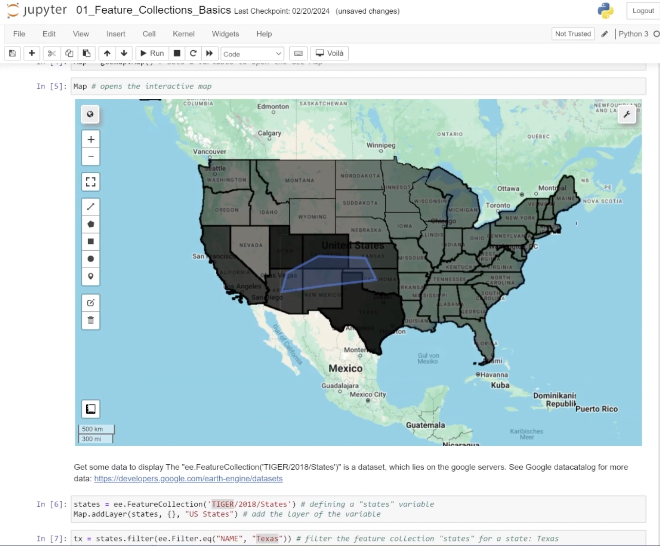
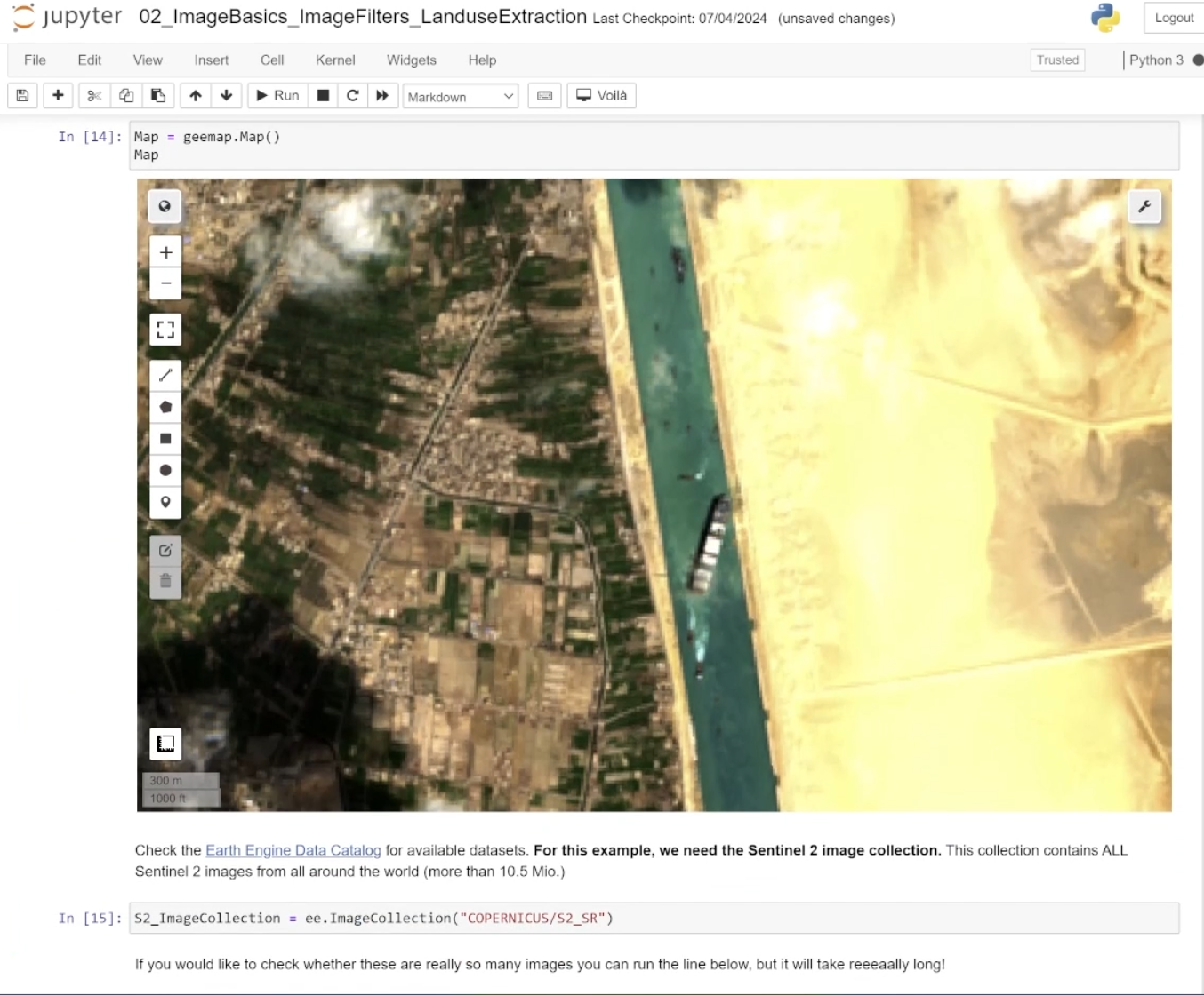
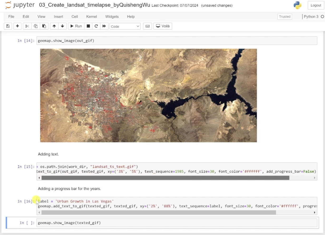
Chapter 1, Python and EO Data, introduces learners to the principles of geospatial data processing using Python, with a focus on Earth Observation (EO) data. Participants will explore methods to filter, analyse, and visualise data in Google Earth Engine (GEE), such as detecting floods, analysing nighttime light trends, and assessing air quality using satellite imagery. This chapter provides foundational skills for integrating EO data into research projects on urban transformations and sustainable development.