NFDI4Earth - Geospatial Intelligence for Sustainable Futures: Smart Data and AI Applications (WiSe 2024/25)
Abschnittsübersicht
-
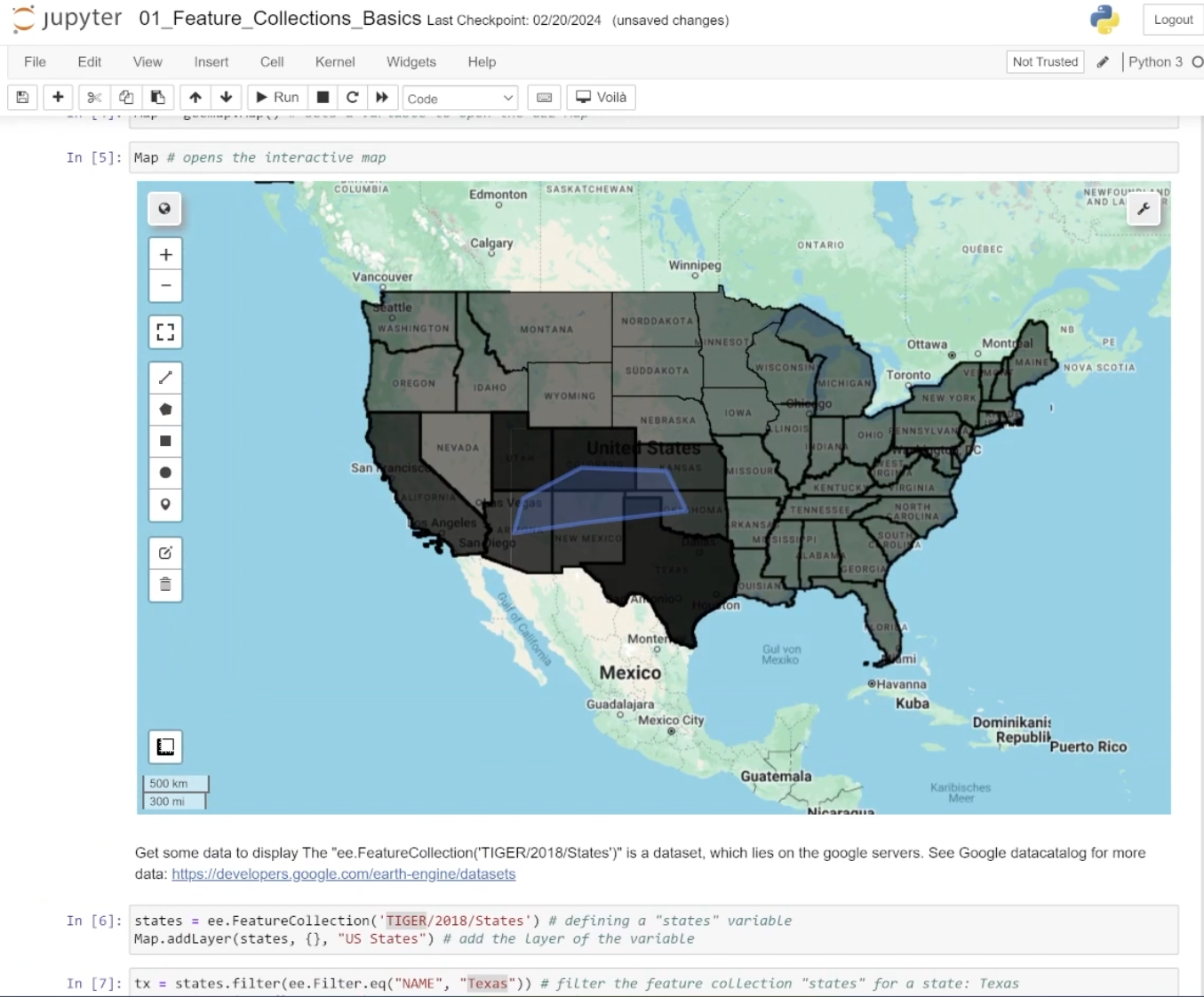
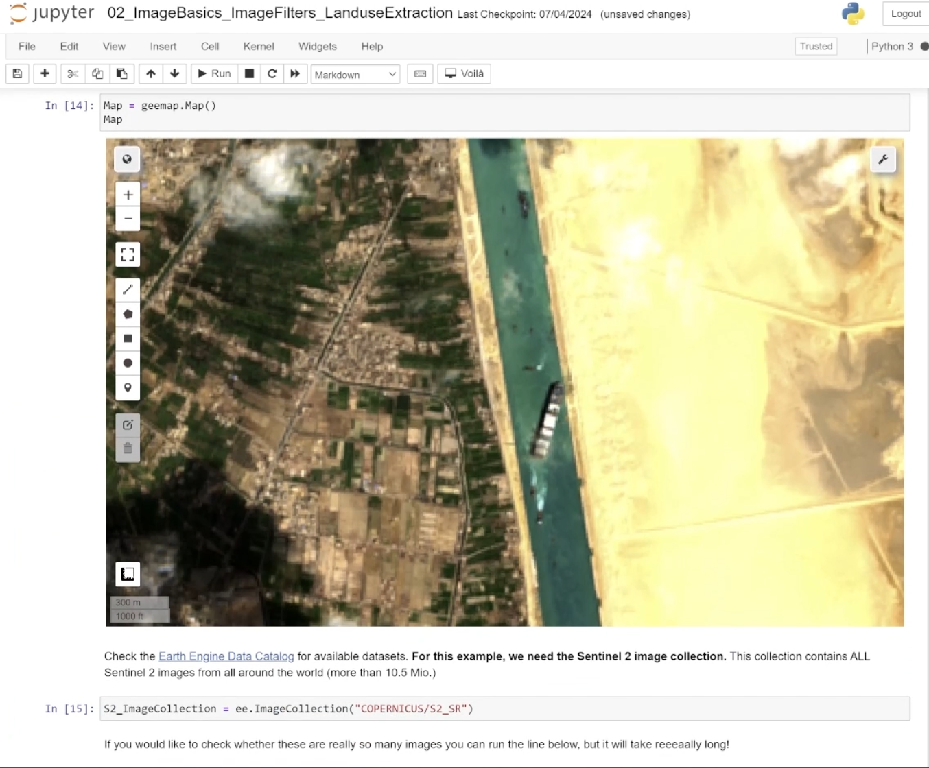
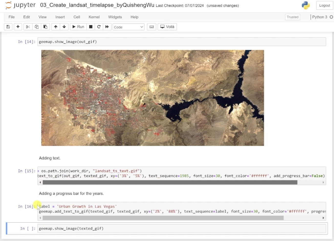
Chapter 1, Python and EO Data, introduces learners to the principles of geospatial data processing using Python, with a focus on Earth Observation (EO) data. Participants will explore methods to filter, analyse, and visualise data in Google Earth Engine (GEE), such as detecting floods, analysing nighttime light trends, and assessing air quality using satellite imagery. This chapter provides foundational skills for integrating EO data into research projects on urban transformations and sustainable development.
-
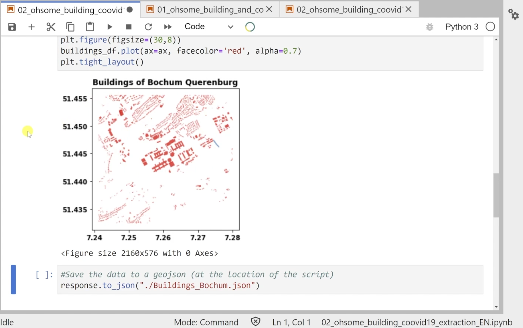
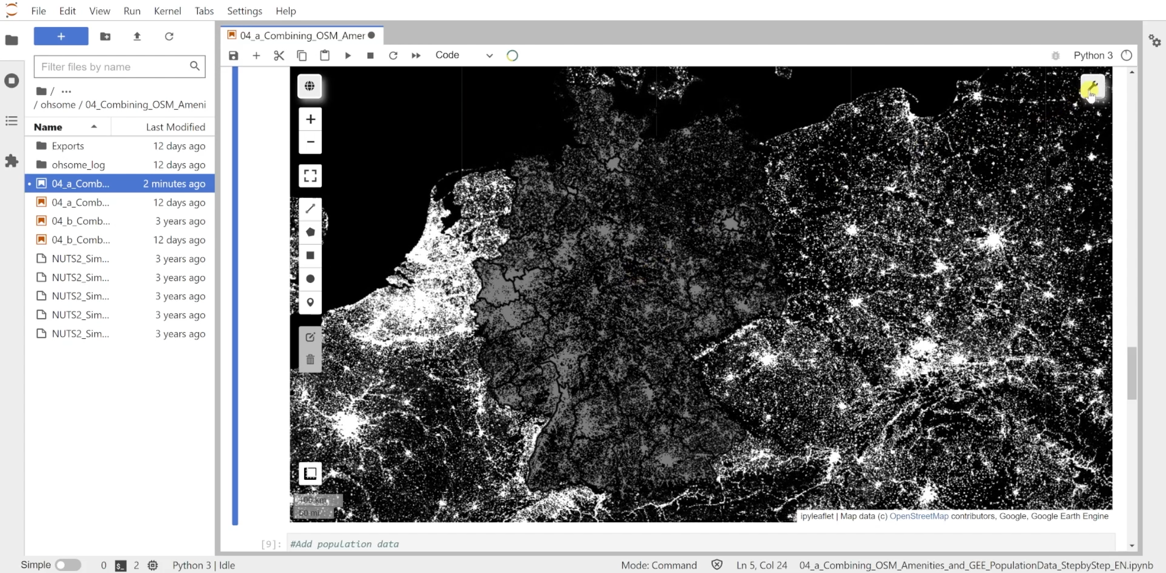
Chapter 2, Python and VGI, focuses on utilising Volunteered Geographic Information (VGI) for urban transformation studies. Learners will use APIs like ohsome and osmnx to analyse building developments, road networks, and combine OpenStreetMap (OSM) amenities with population data. This chapter equips participants with skills to extract and integrate VGI into their research, addressing key indicators for sustainable urban development.
-
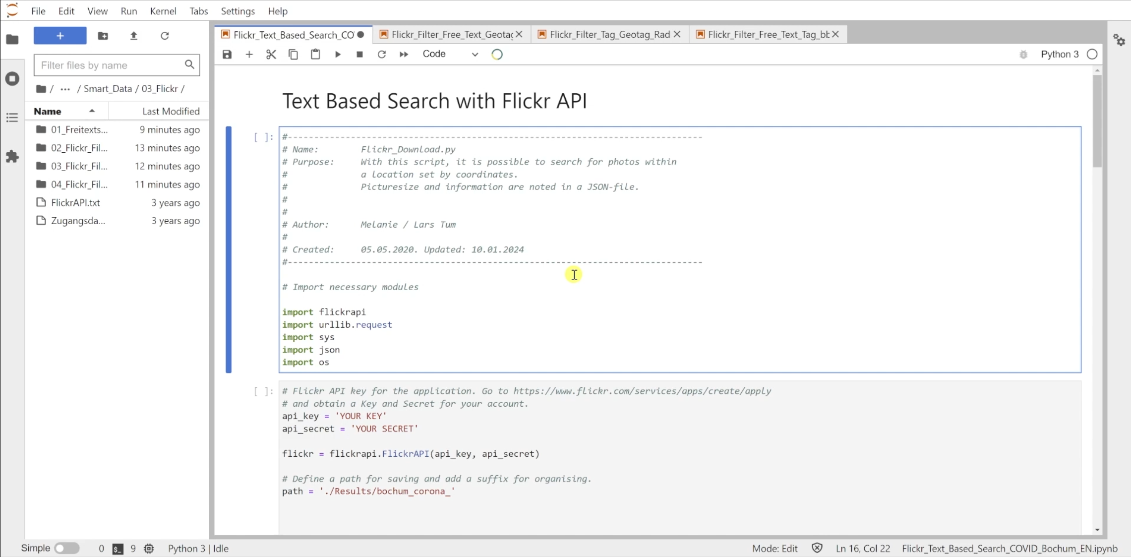
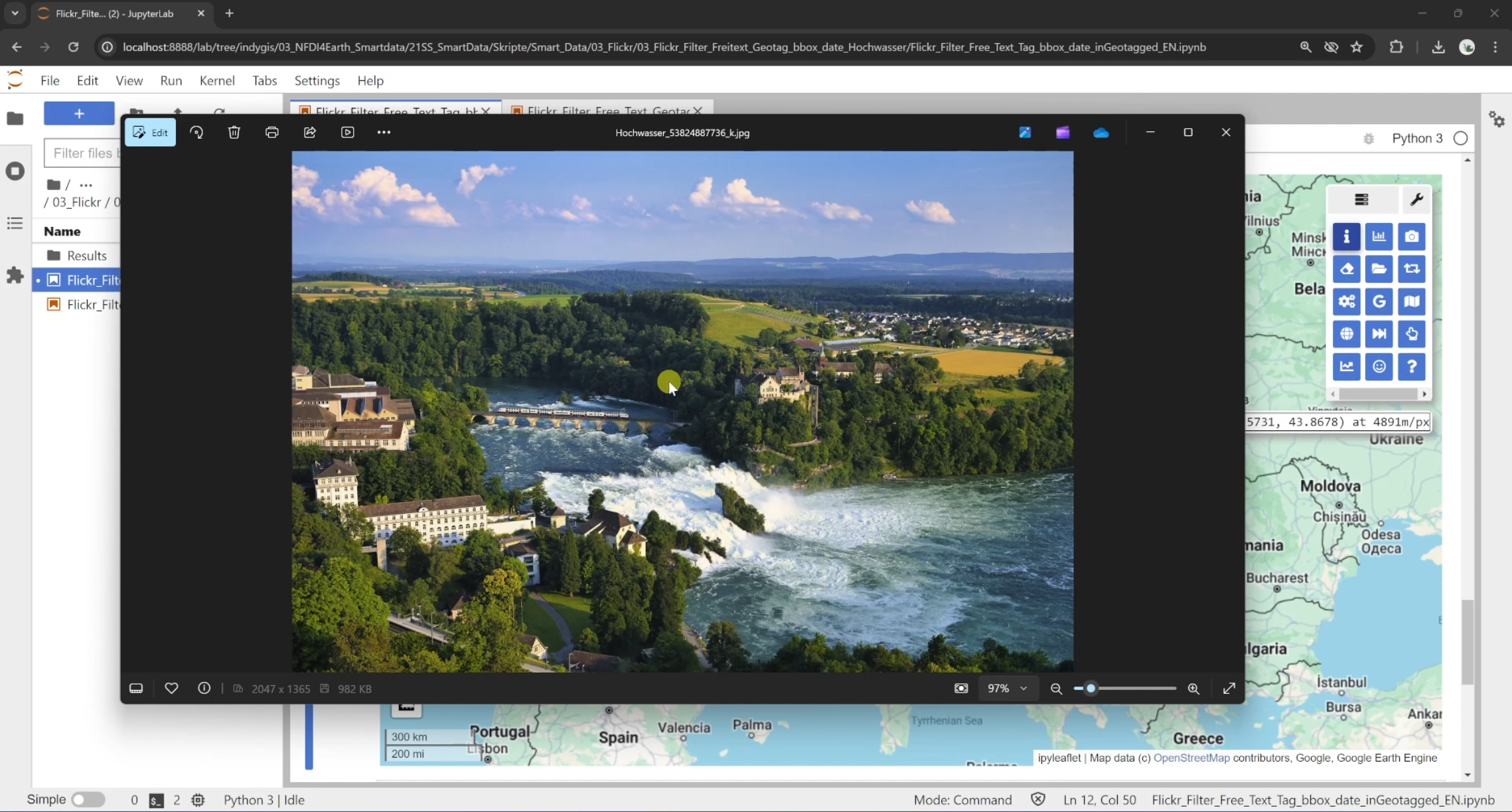
Chapter 3, Python and SMGI, delves into Social Media Geographic Information (SMGI) and its potential for geospatial analysis. Learners will filter and analyse geotagged Flickr images using APIs to extract thematic insights from social media. This chapter emphasises using SMGI as a complementary data source for understanding urban systems and their socio-ecological dynamics.
-
In Part 2 - Artificial Intelligence, you will get exercises and solutions as python scripts. Try to first solve the exercises with the knowledge you obtained watching the videos. If you get stuck, take a hint from the solutions of the chapter to solve the task!
The Introduction chapter guides you through the setup process to be well prepared for the upcoming scripts and exercises. You will install necessary software like Anaconda Navigator and Microsoft Visual Code and you'll have a brief introduction into the graphic user interfaces of those tools.
The .yml file below will provide you with all necessary python packages for the upcoming chapters. Download it and follow the installation instructions from the introduction video.
-
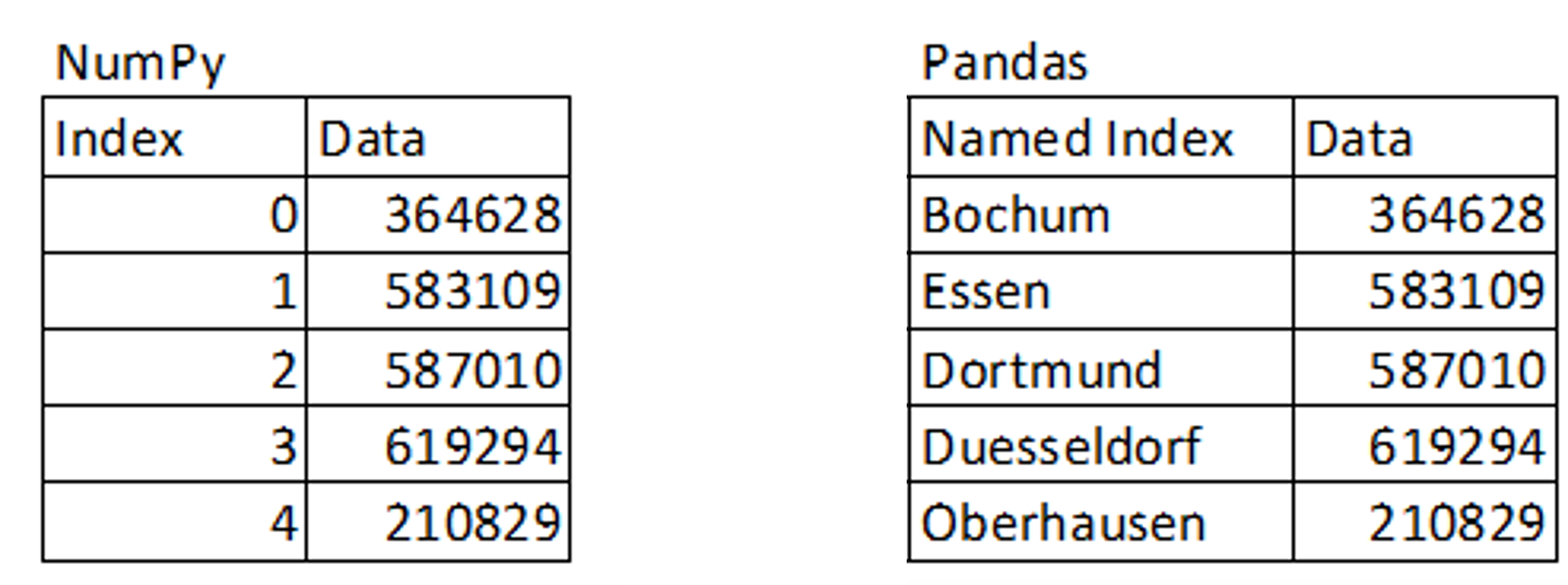
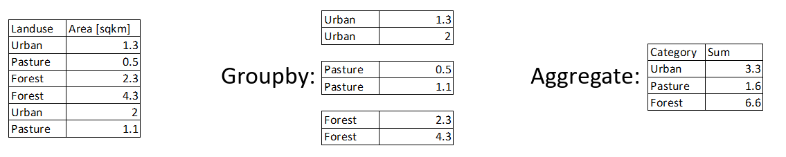
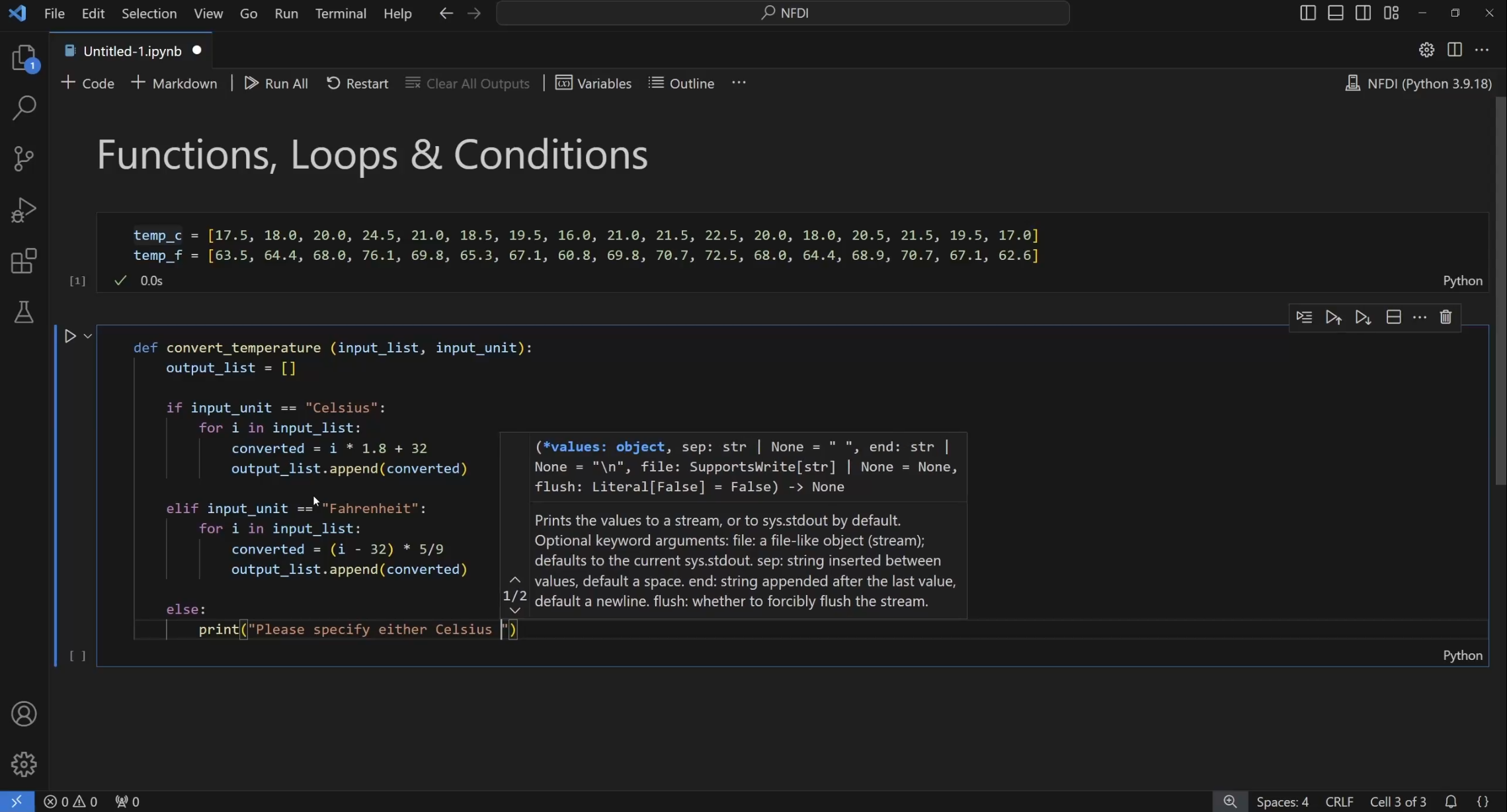
The Python Basics chapter introduces learners to essential Python libraries like pandas, numpy, and matplotlib, which are fundamental for data processing, analysis, and visualisation. Through hands-on exercises, learners will build a strong foundation in Python scripting, enabling them to effectively use these tools in subsequent AI and machine learning applications.
-
In the Machine Learning chapter, learners will script and use algorithms like Random Forest and Support Vector Machines for classification and regression tasks. Through practical exercises, you will apply these methods to geographic data, learning how to leverage machine learning for analysing patterns and making predictions in environmental and urban contexts.
-
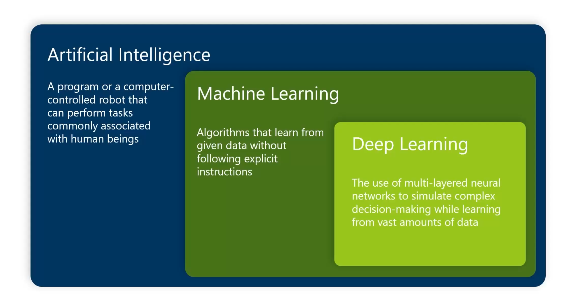
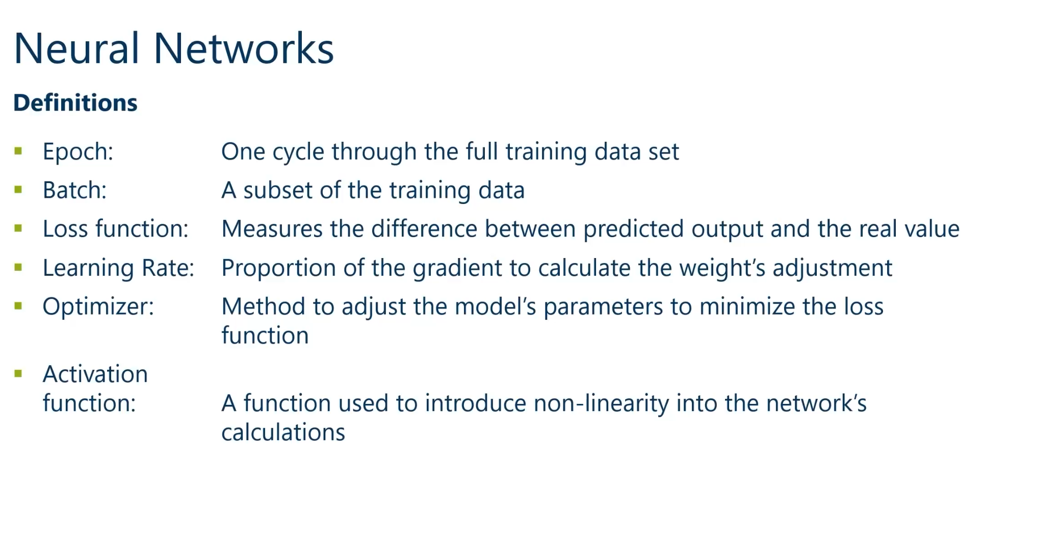
The Neural Networks chapter introduces learners to the foundational principles of deep learning, including concepts such as bias, activation functions, gradients, and backpropagation. It also explores advanced topics like convolutional and recurrent neural networks, equipping learners with the skills to build, train, and utilise neural networks for geospatial data-driven applications.
-
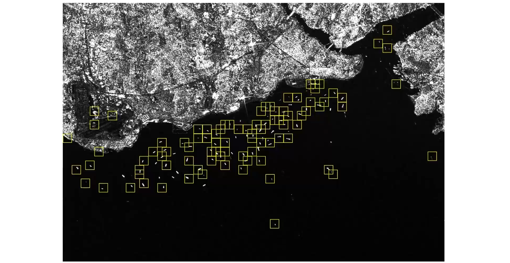
In the Geographical Applications chapter, learners will apply AI techniques to real-world geospatial challenges. This includes ship detection using convolutional neural networks, weather prediction with recurrent neural networks, and modeling phenomena like water levels and soil sealing. By the end of this chapter, participants will have hands-on experience implementing AI-driven solutions for pressing geographic and environmental issues.