Smart Data Chapter 2: Python and VGI
Section outline
-
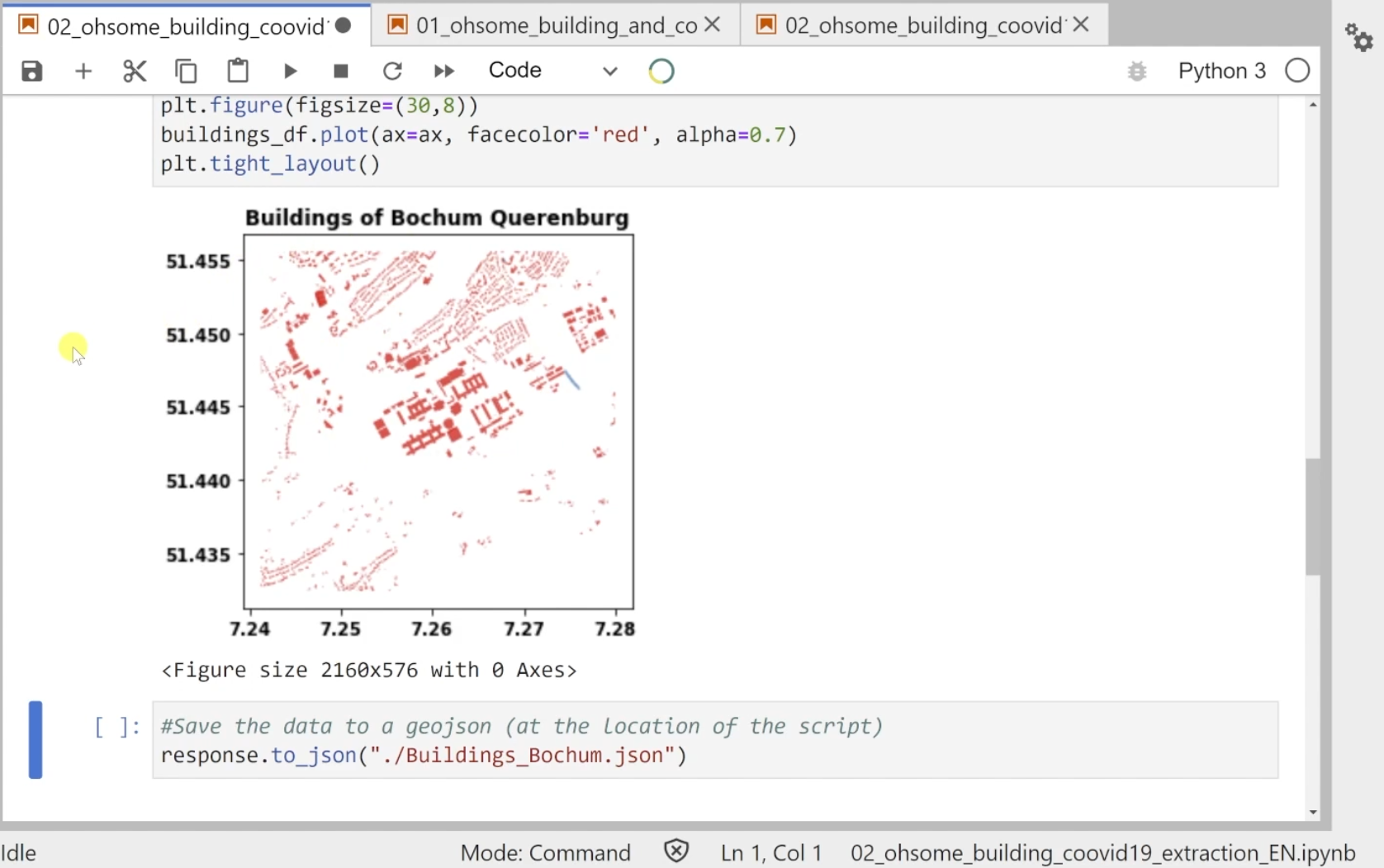
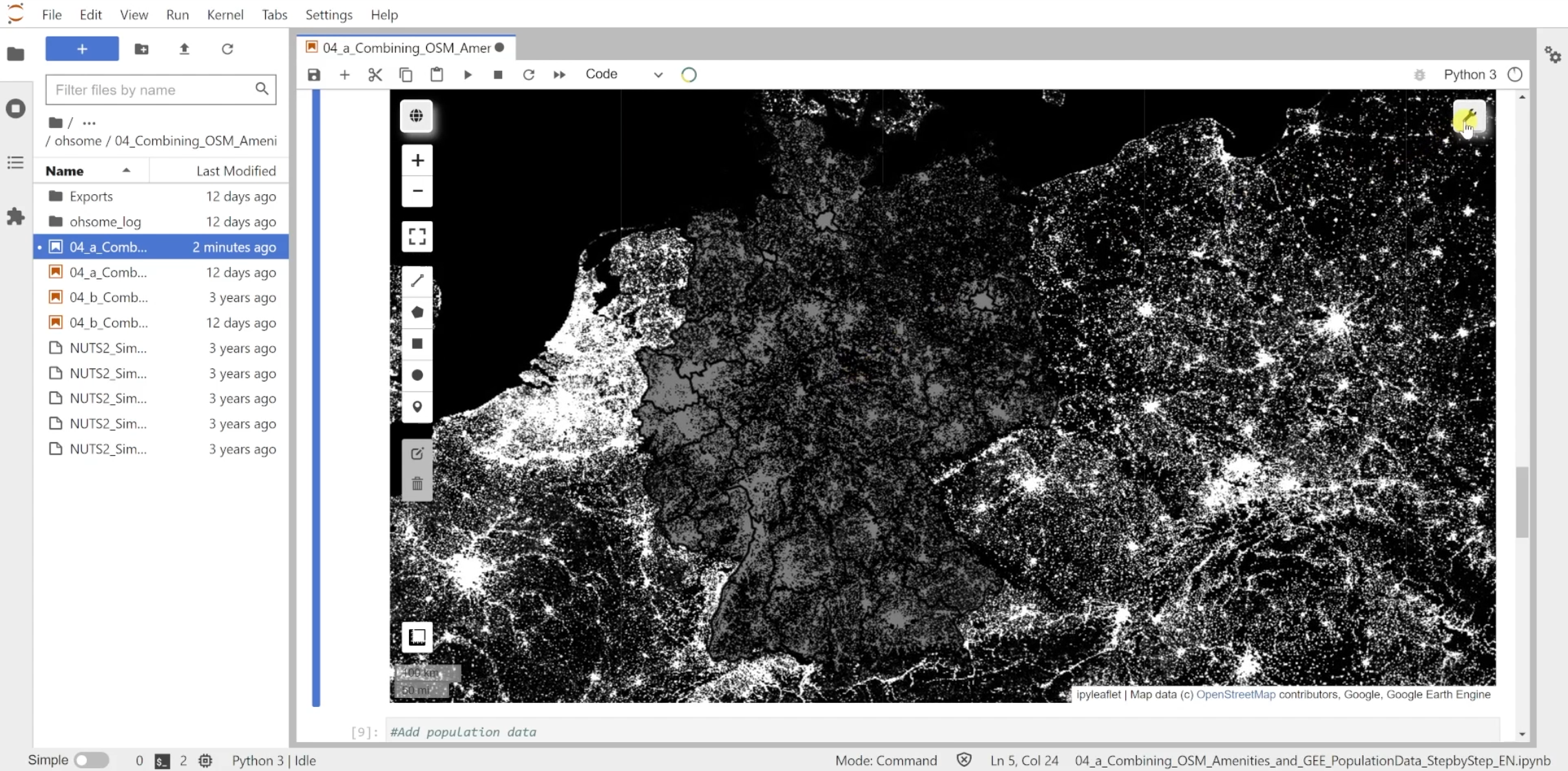
Chapter 2, Python and VGI, focuses on utilising Volunteered Geographic Information (VGI) for urban transformation studies. Learners will use APIs like ohsome and osmnx to analyse building developments, road networks, and combine OpenStreetMap (OSM) amenities with population data. This chapter equips participants with skills to extract and integrate VGI into their research, addressing key indicators for sustainable urban development.