Aims
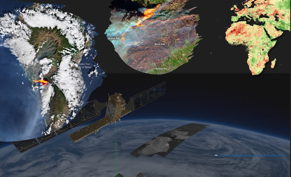
The seminar provides insights into GIS- and remote sensing-based disaster (risk) monitoring using examples such as monitoring of droughts, floods, landslides or fires.
Contents
The frequency and intensity of natural hazards are increasing and timely monitoring is required for appropriate disaster risk management across scales. GIS and remote sensing are key technologies when it comes to monitoring and prevention, but also early warning of natural hazards and their impact on the population and the environment. The seminar will provide insights into the potential of GIS and remote sensing in disaster (risk) monitoring and management, but also draw attention to their challenges.
Structure
The seminar is divided into three blocks: After the first block with introductory sessions on GIS and remote sensing for disaster risk monitoring, students will receive hands-on training on how to monitor natural hazards leading to disasters such as droughts, fires or floods. In the third and final block, students will apply this knowledge to individual study cases.
- Kursleiter/in: Torben Dedring
- Kursleiter/in: Valerie Annemarie Martine Graw